Professional Survey Services Across the UK
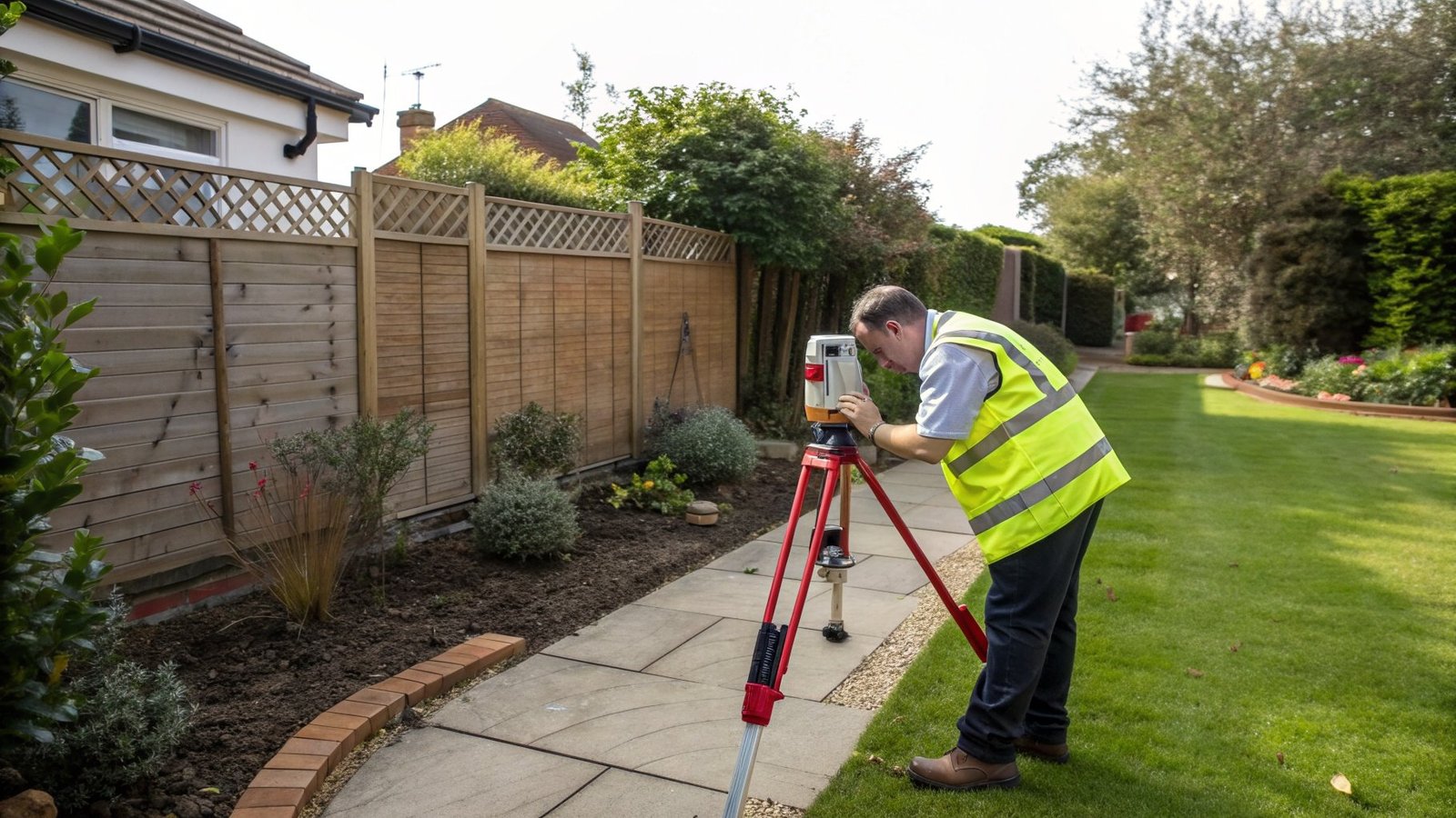
My Topographic Surveyor UK offers comprehensive survey solutions for property buyers, sellers, architects, and developers. Our RICS-accredited surveyors use highly specialised survey equipment to deliver accurate topographic survey data you can rely on.